A Developer Rebuilt Warsaw as an Interactive Game
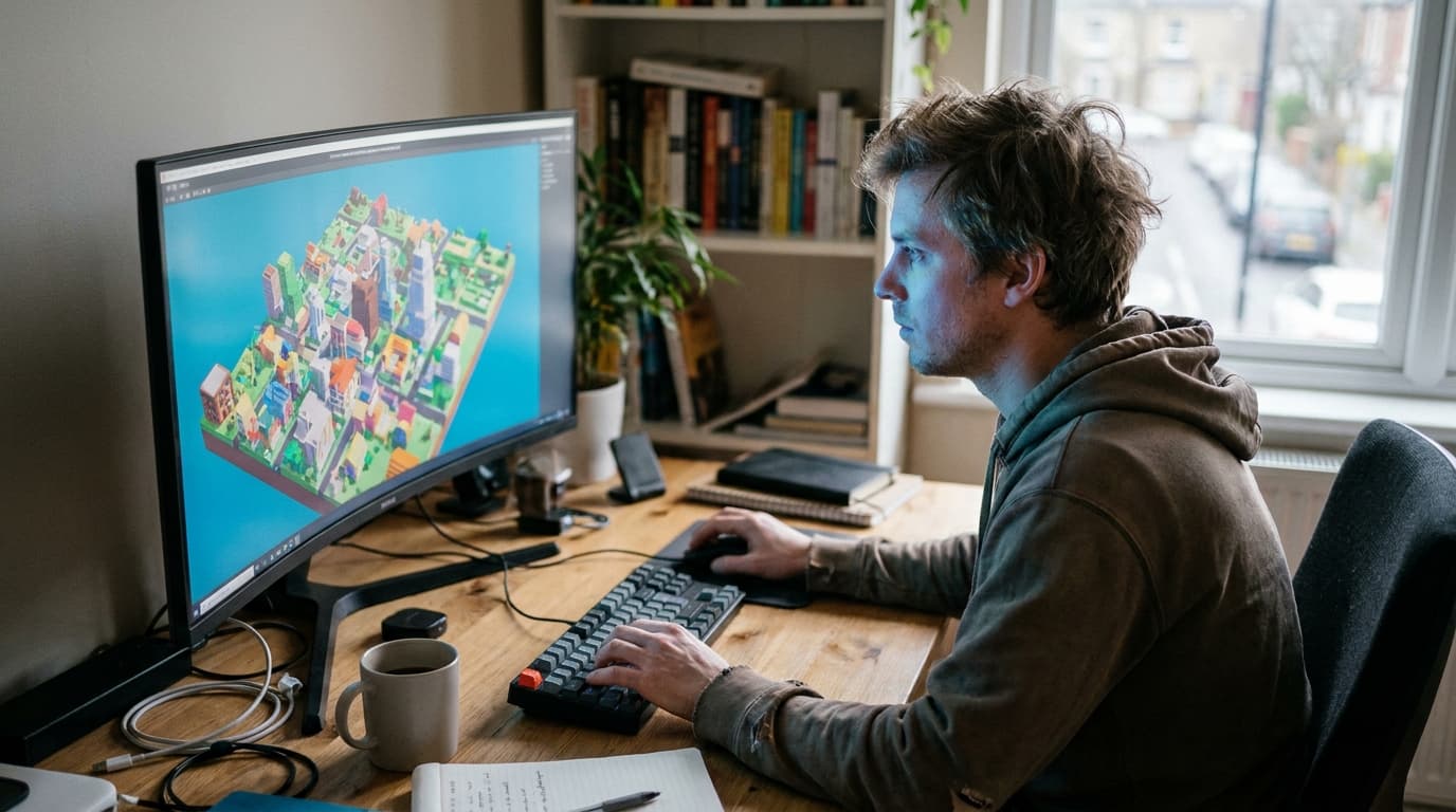
TL;DR: A developer created an interactive 3D map of Warsaw using voxels, inspired by Minecraft. The project showcases how open data can be used to build immersive, game-like digital twins of real-world locations for anyone to explore.
Key facts
- Category
- Tech Updates
- Impact
- Low
- Published
- Source
- Hacker News
Full summary
A developer has built an interactive, voxel-based 3D map of Warsaw, turning open city data into a game-like digital world.
A developer has created and shared an interactive 3D map of central Warsaw, reimagining the city in a blocky, voxel-based art style. As reported on Hacker News, the project draws inspiration from creative sandbox games like Minecraft and voxel art tools like MagicaVoxel. The web-based experience allows users to explore a digital version of the Polish capital, with interactive features that go beyond simple viewing. You can adjust the time of day to see lighting change, alter the weather conditions, and even click on a pedestrian to take control of them, a feature the creator notes was inspired by the classic game Dungeon Keeper. The entire simulation is built upon several open datasets, demonstrating a creative fusion of public data and game development techniques.
At its core, the project uses voxels—or volumetric pixels—to construct its 3D world. This technique represents the city as a grid of 3D cubes, which is a computationally efficient way to render large, complex environments compared to traditional polygon-based modeling. The developer likely processed various open city datasets, such as building footprints, height information, and road networks, into this standardized voxel grid. The interactive elements, like the day-night cycle and weather effects, are probably managed using shaders and particle systems common in modern game engines. This approach simplifies the intricate geometry of a real city into a stylized but recognizable form, making it possible to run a detailed urban simulation directly in a web browser, even on mobile devices, without requiring specialized hardware.
This project fits into the growing trend of creating “digital twins,” which are virtual models of physical objects or systems. However, it stands in contrast to the high-fidelity, photorealistic digital twins often developed by large corporations for industrial applications. Those versions typically require immense computational power, expensive proprietary software, and vast amounts of sensor data. This voxel-based Warsaw map represents a more democratized and accessible approach. By leveraging a familiar, game-like aesthetic and relying entirely on open data, it makes the concept of a digital twin less about perfect replication and more about interactive exploration and understanding. It showcases how technologies from the gaming industry are increasingly being applied to solve real-world visualization challenges.
For developers and businesses, the key takeaway is that creating impactful data visualizations and simulations does not always require photorealism. The value of this project lies in its interactivity and its ability to make complex urban data intuitive and engaging for a broad audience. This “gamified” approach could be a powerful model for companies in urban planning, architecture, and logistics to create low-cost, accessible tools for site analysis, traffic flow modeling, or public engagement. As open data becomes more widely available, we can expect to see more of these creative, lightweight digital twins that prioritize user interaction and data clarity over graphical fidelity, opening new possibilities for how we understand and plan our cities.
Why it matters
This project demonstrates a powerful, accessible approach to creating digital twins using open data and familiar game-like aesthetics. For developers, it highlights the potential for building highly engaging urban simulations and data visualizations without requiring massive proprietary datasets or complex rendering engines.
Business impact
Companies in urban planning, real estate, and logistics can draw inspiration from this model for low-cost, interactive simulations. It shows a path to developing sophisticated digital twins for site analysis, traffic modeling, and customer engagement, turning complex city data into an intuitive tool.
Tags
Related on Notifire
Related stories
Primary source: Hacker News